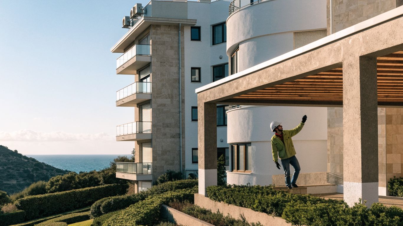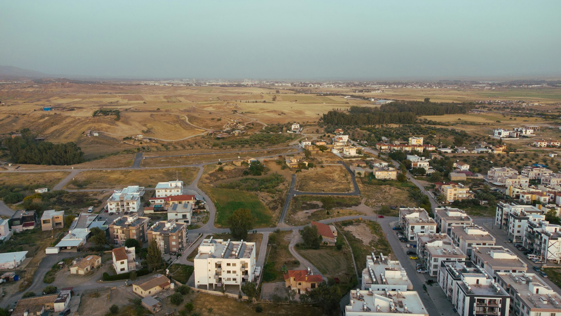
Most buyers judge a plot by the view. A sea glimpse or a spot near a beach town feels like enough. It rarely is. The things that actually protect your investment, zoning rules, infrastructure capacity and environmental risk, sit underneath the surface and do not show up in a listing photo.
Why a nice view is not due diligence
A location's appeal is not just aesthetic. Relying on a developer's marketing or a gut feeling skips the parts that matter most for long term value and everyday living.
What buyers usually miss
A simple framework for checking a location
1. Check planning zones and future development plans
Consult the Department of Town Planning and Housing and the DLS Portal for the plot's zoning, density limits and height restrictions.
2. Confirm cadastral details and boundaries
Pull cadastral plans from the DLS Portal to verify exact boundaries, adjacent plots and access rights, before disputes become a problem.
3. Assess infrastructure and environmental exposure
Check water, electricity and sewerage access through the Water Development Department, and screen for flood risk or geological concerns.
Planning laws vary by municipality in Cyprus, so this often needs local expertise to interpret correctly, not just the raw data itself.
A real example from Limassol
In March 2025, a client came to us set on a plot for its coastal view. Our technical team ran a full site analysis and found two problems the view did not reveal: the plot sat partly within a flood risk zone per Water Development Department data, and a highway bypass planned for Q4 2026 would run close enough to affect both noise and future value.
We pointed them to an alternative plot 3 km away. Less dramatic on paper, but clear of both risks and with stronger long term appreciation potential. They took it, and avoided an estimated 15 to 20 percent in future flood mitigation costs they had not originally factored in.
The bottom line
The best location is not always the most photogenic one. A less flashy plot with solid zoning and real infrastructure backing often outperforms a scenic one with hidden constraints. Most buyers do not have the time or access to check all of this themselves, which is exactly where local expertise earns its keep.
Frequently asked questions
Is a good view enough when evaluating a new development in Cyprus?
No. Zoning, infrastructure quality, flood risk and future development plans affect long term value and livability far more than the view does.
What risks do buyers most often miss?
Unfavorable zoning restrictions, weak utility access, nearby noise generating infrastructure projects, flood zones and land stability issues.
How does official data change what a location actually offers?
Cadastral maps, zoning layers and flood risk data often contradict first impressions, revealing restrictions or hazards a plot's surface appeal hides.
What infrastructure actually defines a strong location?
Reliable water and power, efficient waste management, solid road networks, telecom coverage, and proximity to schools, hospitals and emergency services.
Why does local insight matter more than general market trends?
Market trends are broad. Local insight catches specific zoning changes and infrastructure projects unique to an area like Limassol, the details that actually move value.
BERKOS Team
BERKOS is an integrated real estate group in Limassol, Cyprus, covering development, construction, property management and the legal and financial work around them.